Join World's Fastest Growing B2B Network
Join World's Fastest Growing B2B Network



| Port | Shenzhen |
| Lead Time | 7 |
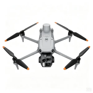
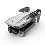
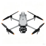
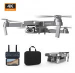
Matrice 4E is a lightweight compact enterprise quadcopter tailored for high-precision aerial survey and detailed industrial inspection. It integrates a 4/3-inch wide-angle camera with mechanical shutter, 48MP medium telephoto camera, 48MP telephoto camera and built-in laser rangefinder.
Supported by RTK positioning for centimeter-level accuracy, it enables efficient 2D orthophoto mapping and 3D modeling. Equipped with omnidirectional obstacle avoidance and intelligent flight missions, the drone supports high-speed aerial survey with quick shooting interval.
Ideal for land surveying, construction monitoring, mining inspection, infrastructure patrol and cadastral mapping. Portable foldable design allows easy transportation and rapid field deployment.

1/F, Xiangyang Committee, Xiangping Sub-district, Baita District, Liaoyang City, Liaoning Province, P.R.China
One moment please
 Member's Area
 Messages
  Need Help



 Browse Through Millions of High-Quality Products.